Structures of learning
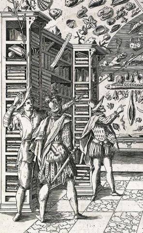
Introduction to visual sources: images, objects, the built environment, and seventeenth-century science
This unit provides a brief introduction to Special Subject 14 as a whole and to 'Structures of Learning' in particular.
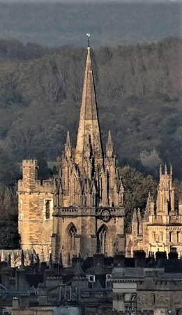
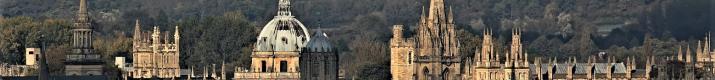
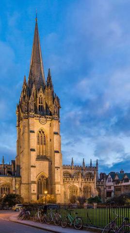
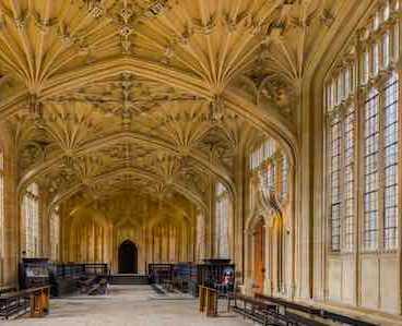
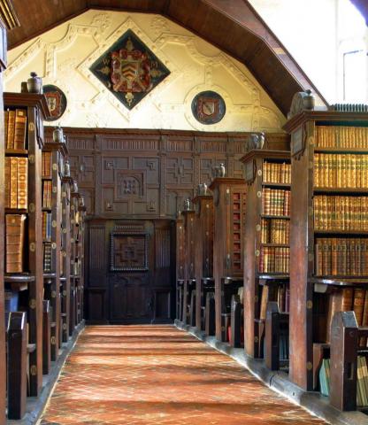
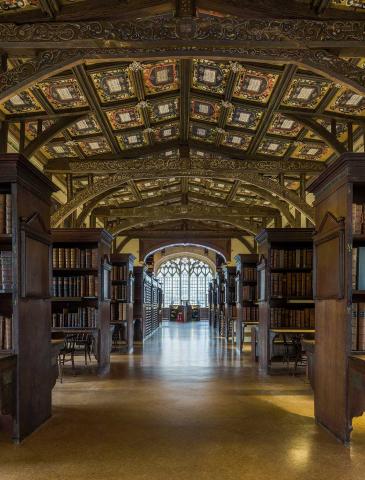
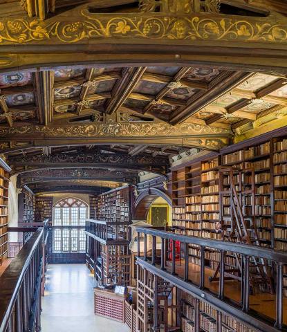
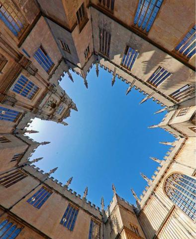
The evolution of central Oxford in the seventeenth century
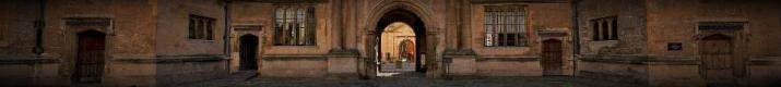
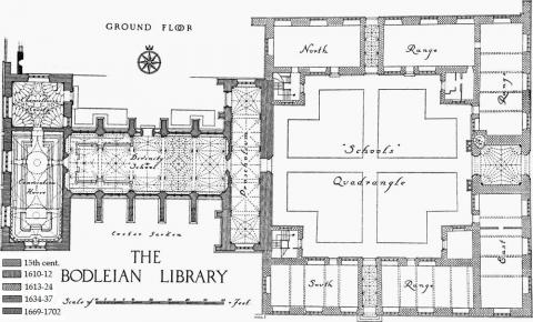
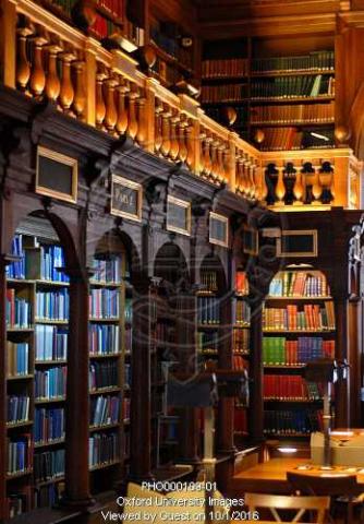
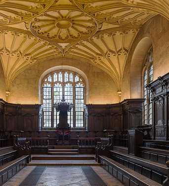
This unit explores aspects of the learned values of the early seventeenth century by tracing the evolution of the Bodleian Library-Schools Quadrangle complex before 1640 and the buildings clustered around it after 1660.
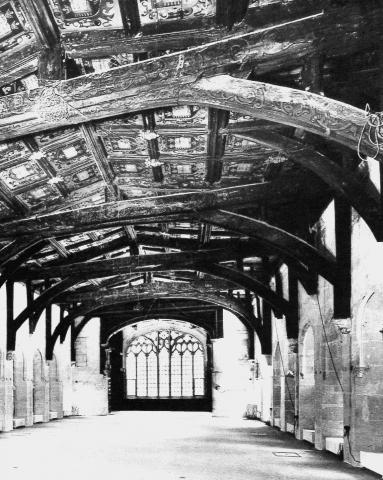
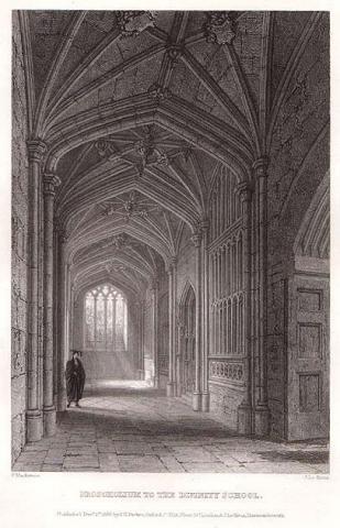


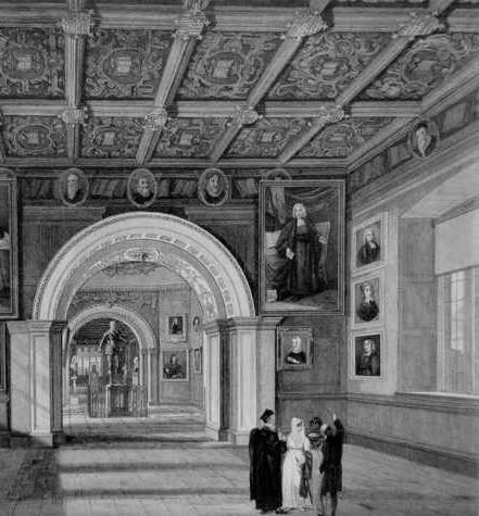
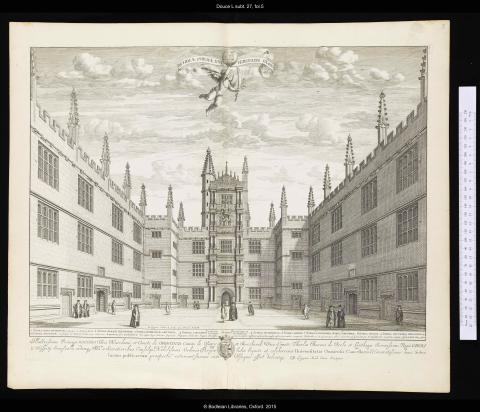
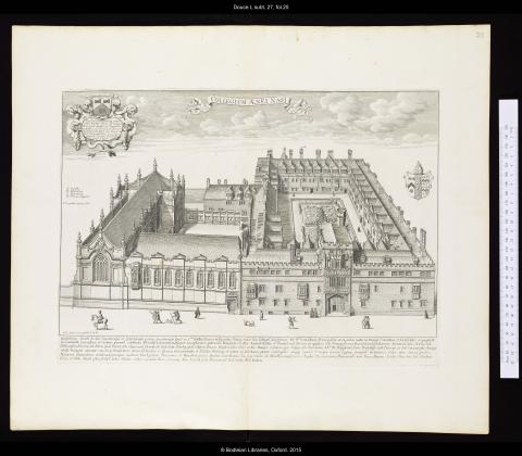
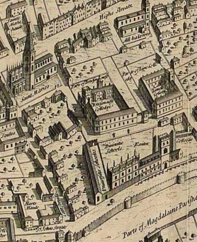
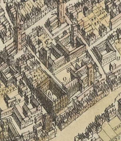
Oxford in 1675: Loggan's Oxonia illustrata
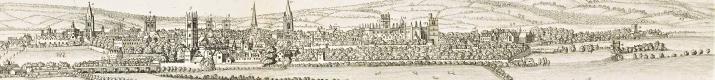
Loggan's superb set of 40 engravings captures for the first time the built environment of Oxford in great detail.